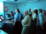
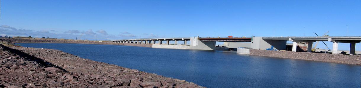
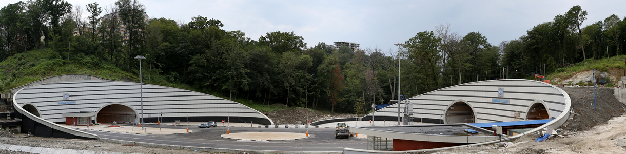
A unique full-scale navigation experiment held in the proposed bridge location »
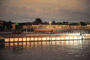
In autumn 2011 a full-scale navigation experiment was held on the Big Neva in the proposed location for Novo-Admiralteysky Bridge to assess navigation safety.
In September 2011 pontoons were installed on the Big Neva simulating the piers of the proposed bridge. The Training Centre of Makarov State Maritime Academy had trained pilots for the experiment. With this purpose, a unique bridge model had been developed to simulate navigation conditions in the Big Neva downstream of Blagoveschensky bridge, including current velocities and directions, wind, visual reference points, lighting at day and night and in various weather, ship motions, etc.
The experiment was carried out for JSC Pylon. Stroyproekt took an active part in its organization. The experiment program and its scientific support had been developed by TSNII Marine Institute involved by Stroyproekt. JSC Tranzas provided a technical support.
Over 1300 vessels passed through the alignment of the proposed draw bridge. No ship impact to the pontoons simulating bridge piers have been observed.
The experiment has proved that river-sea vessels can be piloted through a proposed 60-m draw span of Novo-Admiralteysky Bridge under normal operation conditions. The experiment results have shown that risk of navigation accidents at the proposed Novo-Admiralteysky Bridge is comparable with similar risks at the existing bridges across the Neva.
The experiment was unique for Russia. No full-scale pilotage simulation had been ever carried out in Russia. In future, this unique experience may become a common practice not only in St. Petersburg but in other Russian regions.
Bridge design background »
Bridge design background
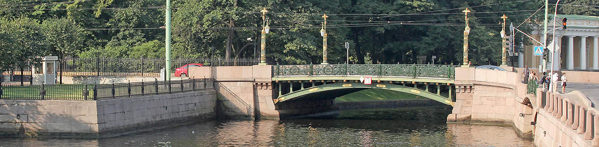
Initially three possible alignments of a new bridge over the Big Neva connecting Admiralteysky and Vasiljevsky districts have been considered: in the alignment of Lines 22-23, Lines 12-13 and in the alignment of Dekabristov Proezd. In 2006 it was decided to build a new bridge in the Southern part of the island to be aligned to Lines 22-23.
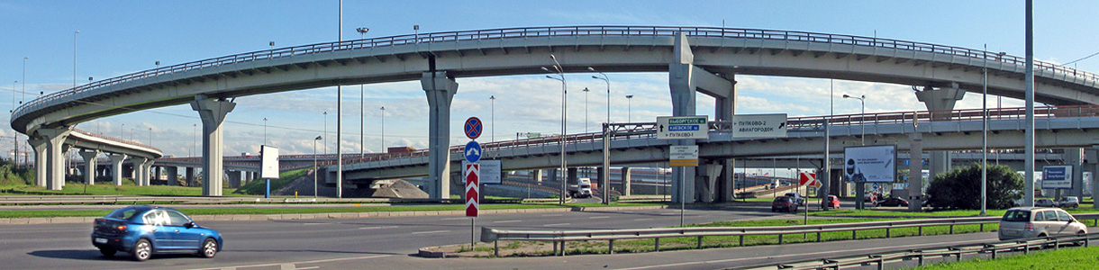
Since the “River – Sea” border is at Blagoveschensky Bridge, the downstream Big Neva water area is not considered an inland waterway and is subject to corresponding navigation codes, laws and requirements. After all the authorities operating the navigation fairway had set their requirements, the underclearance for the new bridge was approved as 14.5х120 m for the closed position and 50 х120 m for the open position.
The bridge option with the specified underclearance in the alignment of Lines 22-23 of Vasiljevsky Island was found unacceptable.
Its main drawbacks:
- The bridge line has to be bended over the river to cross the navigation channel at an angle of 90o ; this is neither acceptable for architectural reasons nor for engineering ones.
- The bridge length will have to be increased due to its high underclearance. Since the approach flyovers are to be placed in the adjacent street (lines 22-23), there will be a problem to preserve the Mining Institute building undamaged.
- A high bridge in the given alignment would interfere with the facade of the Mining Institute.
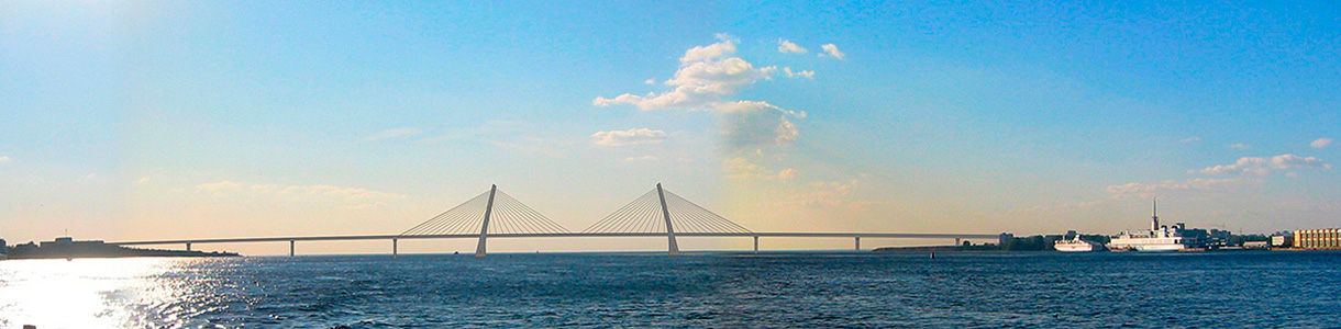
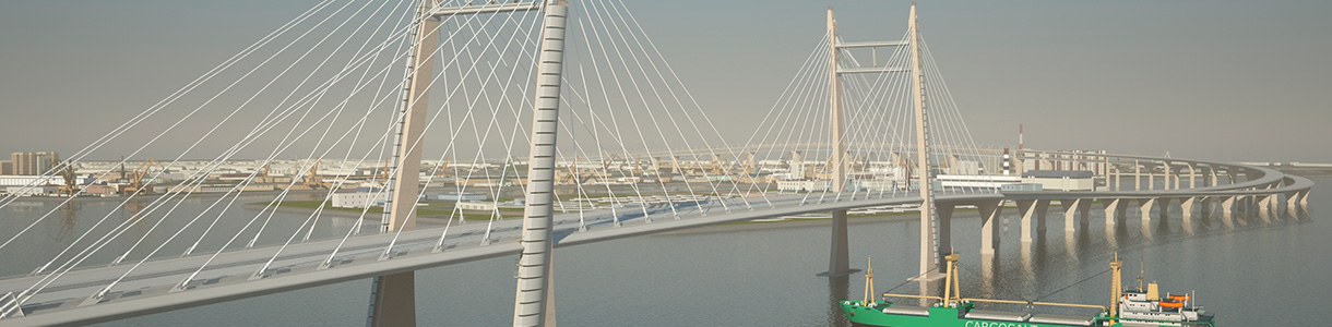
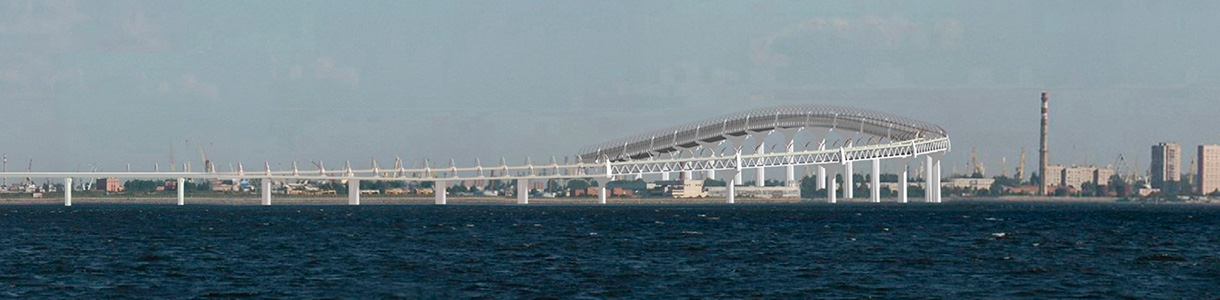
Having analyzed the above option it was decided to locate the bridge at Lines 24-25. The designers managed to position the bridge at this location with a minimum interference in the existing built-up area. For this purpose they designed minimum possible for a city bridge curve radiuses; besides various design solutions for a draw span as well as several architectural concepts have been proposed. A modern bridge with a 130-m long two-leaf bascule span was selected as the main option. This is a record span length for draw bridges of this type. An analogue is La Porta d'Europa Bridge in Barcelona (Spain) with a span length of 110 meters.
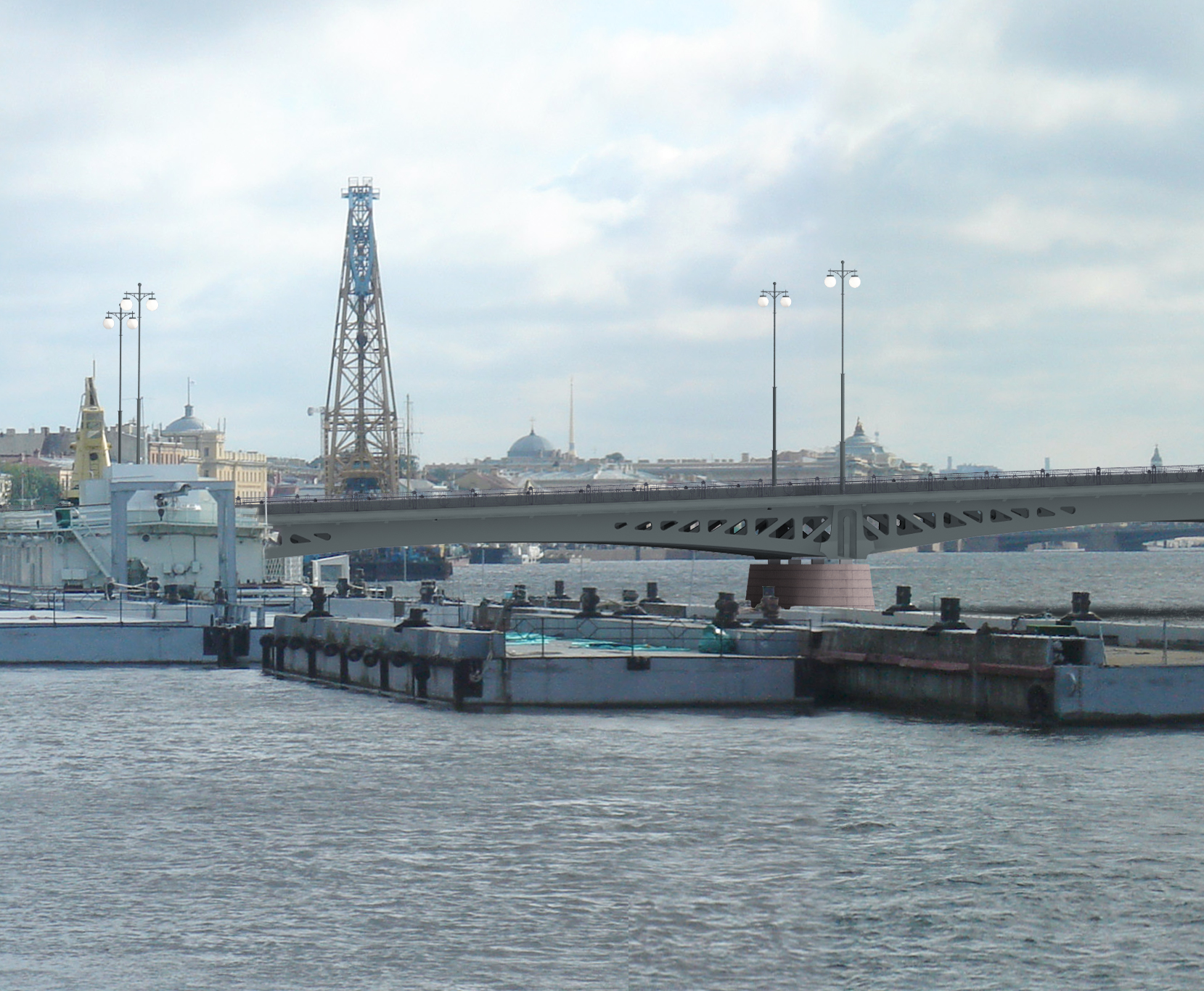
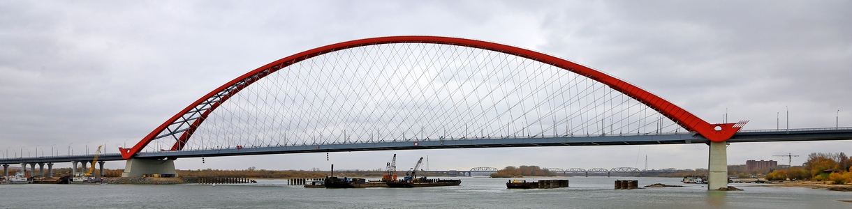
 A draw bridge of modern architecture
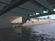
Main parameters: length 499.9 m, layout 54 + 79.6 + 88.3 + 142 + 68 + 68 m; underclearance 2 х (Г-12.5 + Т-3.0) m.
The project main features are dense urban area conditions, cultural heritage objects located within the construction site, a large number of utilities and difficult geological conditions.
Other architectural solutions:
 Vertical- lift bridge (option 1)
 Vertical-lift bridge (option 2 «port»)
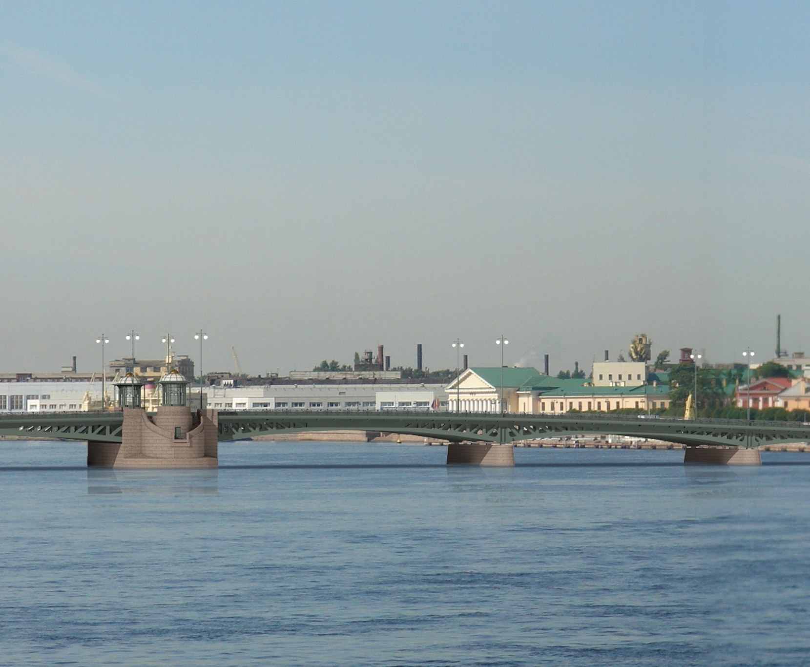
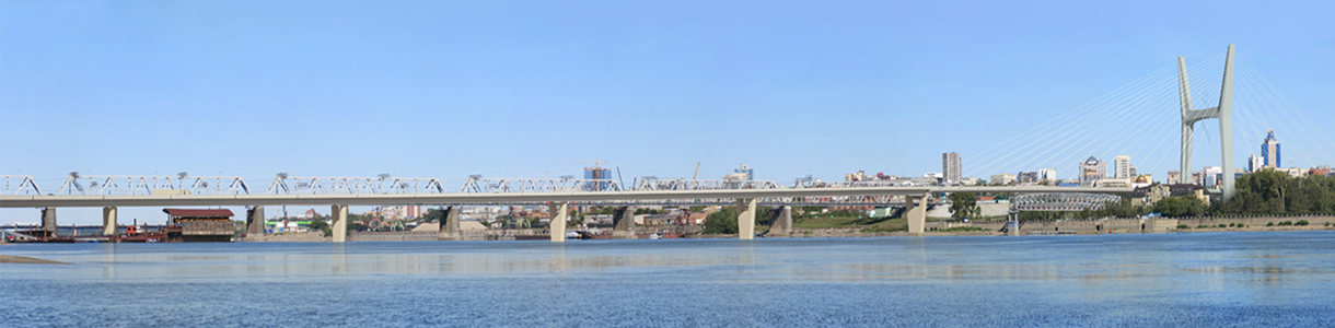
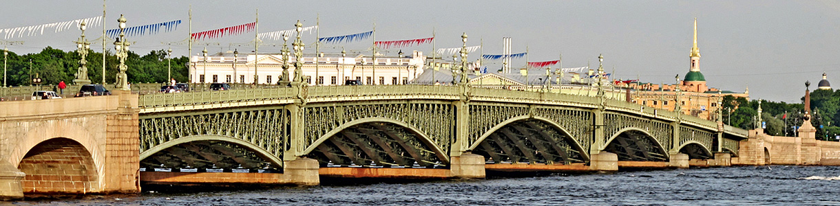
 Two-leaf draw bridge as a classic option for St. Petersburg
At the meeting with the Governor of St. Petersburg on May 28, 2009, it was decided to consider another design option of the bridge providing for a traditional St. Petersburg architectural look, a reduced bridge underclearance and a minimum allowed length of the draw span.
Stroyproekt has developed two options of a traditional bridge in the alignment of Lines 24-25 of Vasiljevsky Island. The first option: navigation clearance is 80 m wide and 9.5 m high. The second option: navigation clearance is 50 m wide and 6 m high. However, location of such a bridge in the alignment of Lines 24-25 will not ensure navigation safety due to difficult hydrological conditions within this section. Therefore, other possible locations of the bridge had to be also considered.
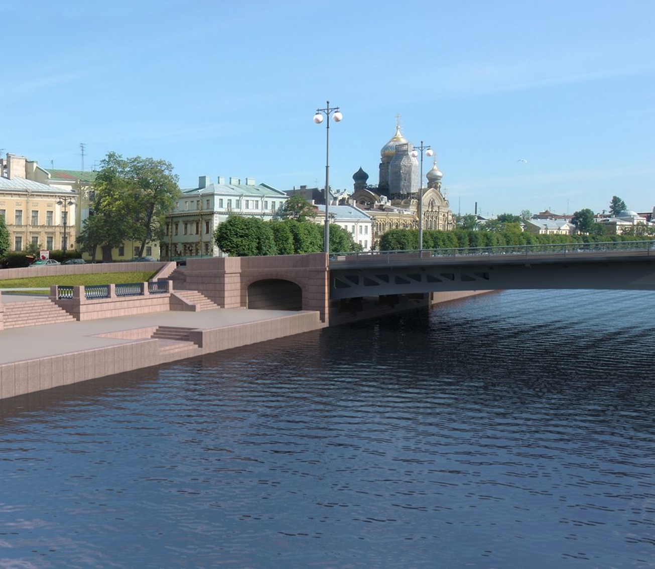
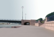
As a result, a traditional architecture option of the bridge across the Big Neva on the alignment of Lines 16-17 and 18-19 has been chosen for further development. The preliminary bridge name is Novo-Admiralteysky Bridge. The bridge will suit perfectly the panorama of the Big Neva River and the historical city centre.


 Далее
Далее